Getting Here Is Easy!
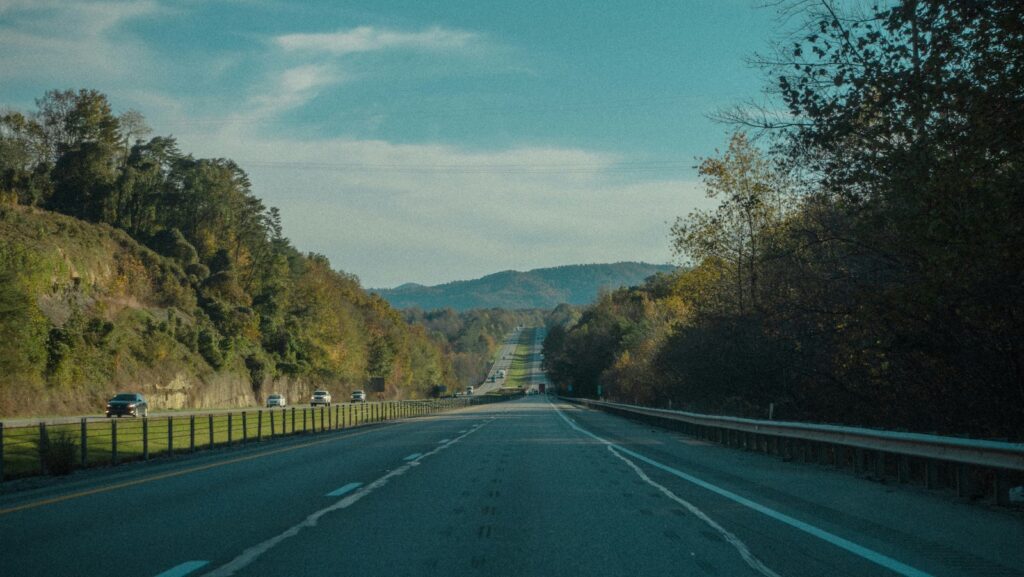
Driving to Brattleboro
Brattleboro is located in the southeastern most corner of Vermont on the Connecticut River. (New Hampshire to the East, New York to the West, and Western Massachusetts to the south)
Drive Time from:
- Boston, MA • 104 miles (2 hours)
- New York City, NY • 200 miles (3.5 hours)
- Hartford, CT • 84 miles (1 1/2 hours)
- Springfield, MA • 59 miles (1 hour)
- Albany, NY • 78 miles (2 hours)
- Bangor, ME • 300 miles (5 hours)
- Manchester, NH • 83 miles (1 3/4 hours)
- Montreal, Canada • 189 miles (4 hours)
- Montpelier, VT (state capital) • 115 miles
- Burlington, VT (largest city in Vermont) • 151 miles (2 1/2 miles)
Three Roads Lead to Brattleboro:
- I-91 (north and south, exits 1, 2, & 3!)
- Route 9 east and west – (between New Hampshire and New York State).
- Route 5 (north and south from the Canadian border to Long Island Sound!)
Rail Travel
Brattleboro is easily reached by train. Amtrak’s Vermonter, providing service from St. Albans, VT to Washington, D.C., stops in Brattleboro once daily northbound and southbound. Information: amtrak.com/vermonter-train.
Air Travel
Brattleboro is . . .
- 80 miles from Bradley International Airport (BDL) in Windsor Locks, CT
- 120 miles from Boston Logan International Airport in Boston, MA,
- 91 miles from Manchester-Boston Regional Airport in Manchester, NH
- 151 miles from Burlington International Airport (BTV) in Burlington, VT
Bus Travel
Greyhound Bus provides service throughout the country to and from Brattleboro. www.greyhound.com.