Brattleboro VT Hiking
Vermont is nicknamed the Green Mountain State, and with good reason: the lush greenness of nature is never far from reach. There are countless trails just steps from most southern Vermont downtowns as well as expansive trails networks within Vermont’s protected state forests. Take in the beauty of our state by exploring these hiking trails near Brattleboro, VT.
Hiking Trails Near Brattleboro
Retreat Trails
10-mile trail network
Access from the Retreat Farm, Brattleboro
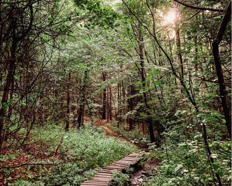
A network of nature trails, footpaths, and carriage roads originally constructed on Brattleboro Retreat land in the 1800s to provide its patients with opportunities to enjoy outdoor activities and recreation with a variety of unique areas and connecting trails. Walkers, hikers, bikers, equestrians, Nordic skiers, and snowshoers can enjoy these trails. Pets are welcome on leashes; owners must clean up after them.
Bonnyvale Environmental Education Center
2 miles of trails on 100 acres of fields and forest
Access from Bonnyvale Rd. in West Brattleboro
Bonnyvale Environmental Education Center (BEEC) has 2 miles of trails that are open for walking from dawn until dusk. BEEC also has interpretive trail guides to make your walk informative. Trails feature some very large old sugar maples, an abundance of spring ephemeral wildflowers, and the sweeping view from Heifer Hill. Dogs on leashes are welcome; please clean up after your dog to keep the land welcoming for everyone.
West River Trail
36-mile trail along the West River
Access the lower section from Spring Tree Rd. in Brattleboro
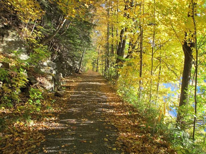
The West River Trail appeals to a wide range of trail users. The rail-trail has a nearly level surface, ideal for walkers, cyclists and equestrians, while a rugged section satisfies avid hikers. The West River Railroad once traveled this corridor, linking the industrial communities of Brattleboro and Londonderry.
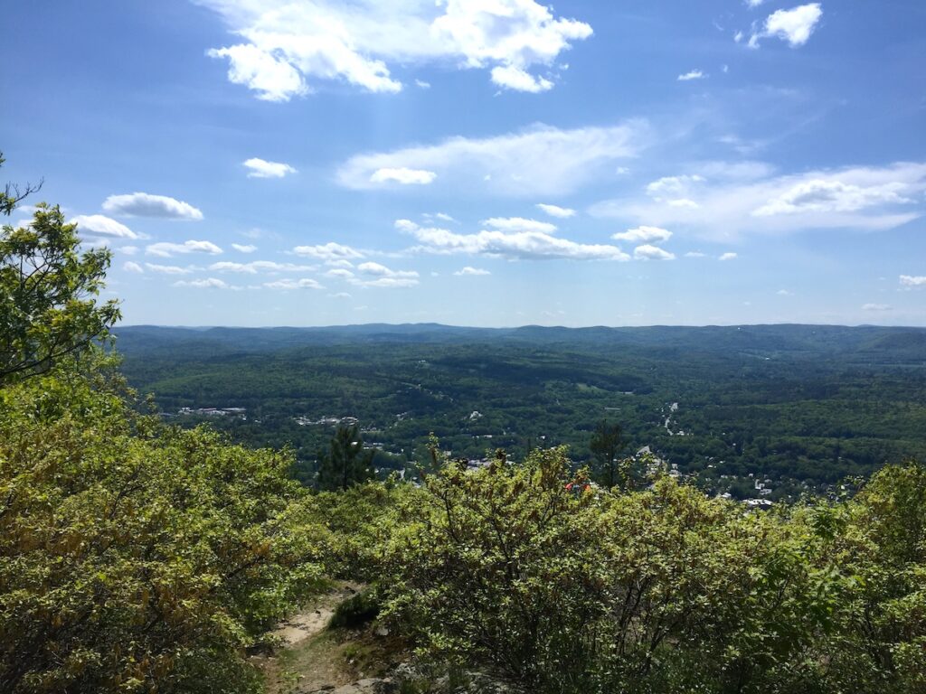
Mount Wantastiquet Trail
4.60 mile trail to the summit and back
Access from Mountain Rd in Hinsdale, NH
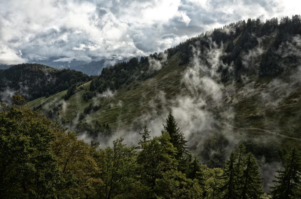
A favorite among locals, the Mount Wantastiquet Trail features steep switchbacks, and features sweeping views of the Connecticut River Valley from the summit. The 513-acre Madame Sherri Forest on the eastern slope of Mount Wantastiquet abuts the larger, 847-acre Wantastiquet State Forest. Trails are linked to the larger Wantastiquet Monadnock Greenway Trail, stretching from the Connecticut River east to Mount Monadnock.
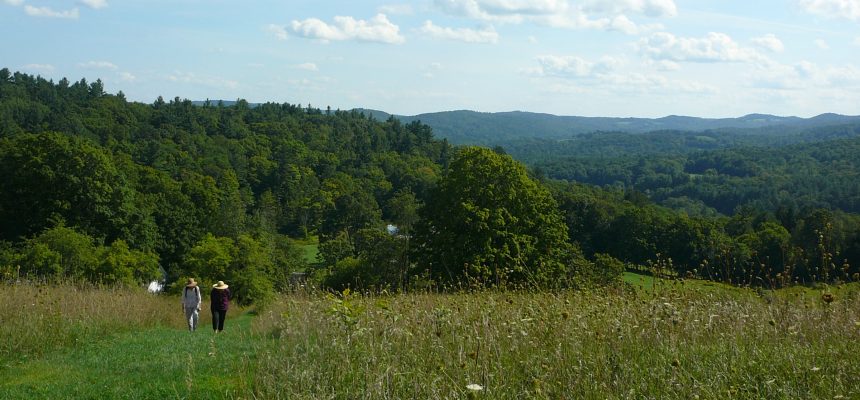
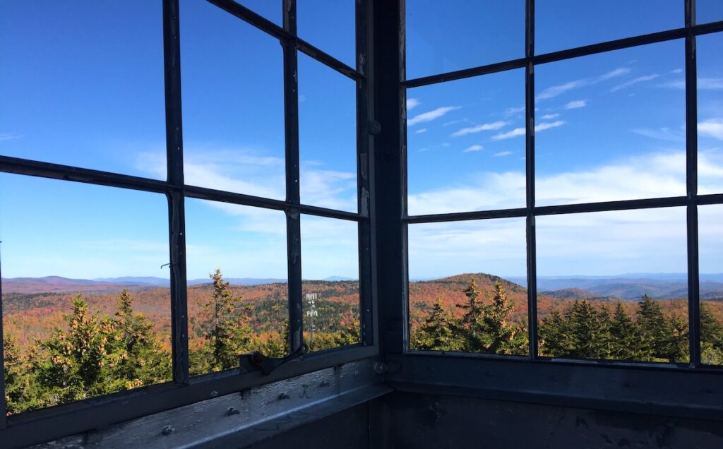
Putney Mountain
15+ miles of hiking trails along the Windmill Hill Ridgeline
Access from Putney Mtn Rd in Putney, VT
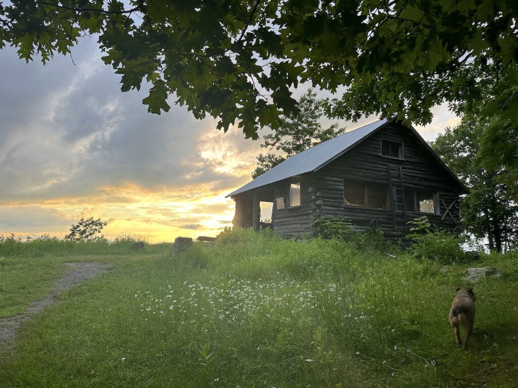
Hike to the summit of Putney Mountain where you can see breathtaking views west over the ski areas of Mt. Snow, Bromley, and Stratton. Every fall, the summit is home to an annual hawk watch, where hikers and birdwatchers can witness thousands of migrating birds following the ridgeline’s winds and thermals. Hikes from Putney Mountain also include a trail to the Pinnacle, a scenic peak in Westminster featuring a lean-to cabin, available for overnight stays (reservations required).
Molly Stark State Park
2+ miles of trails
Access from Route 9 East in Wilmington, VT
This state park, originally a Civilian Conservation Corps project, offers 23 campsites, 11 lean-to shelters, pavilion, picnic facilities, firewood and ice sales, and restrooms/showers. Open from Memorial Day through Columbus Day, Molly Stark’s is home to two miles of trails and connects to the Hogback Mountain Conservation Area lands for extended exploration.
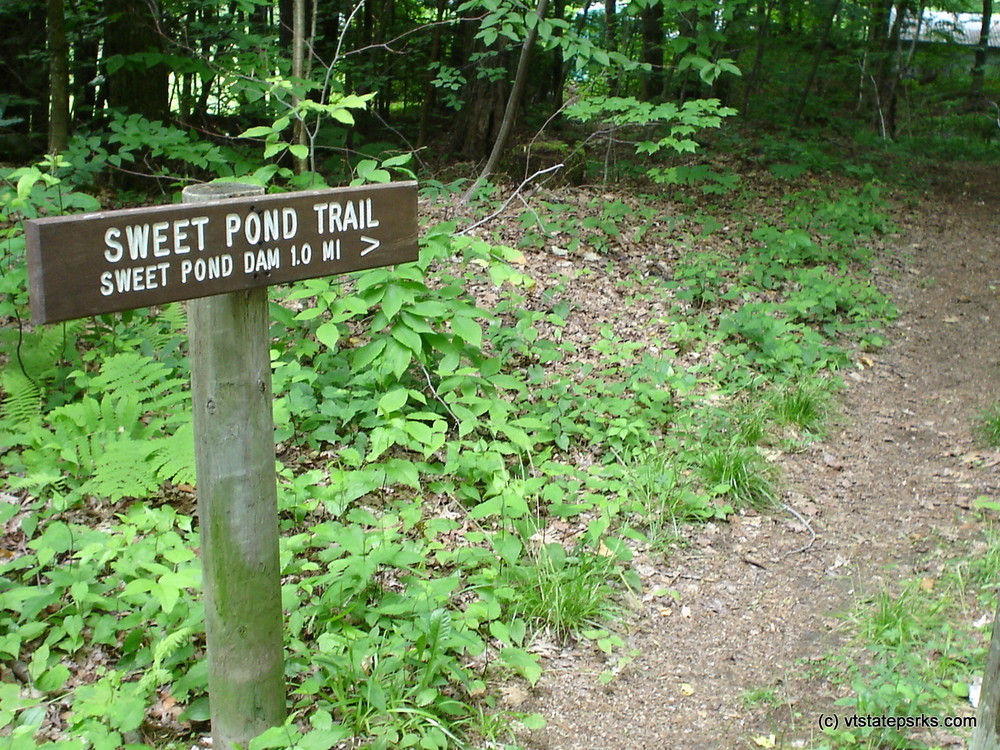
Sweet Pond State Park
1.3 mile trail circumnavigating Sweet Pond
Access Sweet Pond Rd. in Guilford
Sweet Pond State Park is open for day visits. The park includes all of the shoreline of 18-acre Sweet Pond. It is unstaffed, and there are no developed facilities. While overnight camping isn’t permitted, visitors can swim in the pond and pets are welcome.
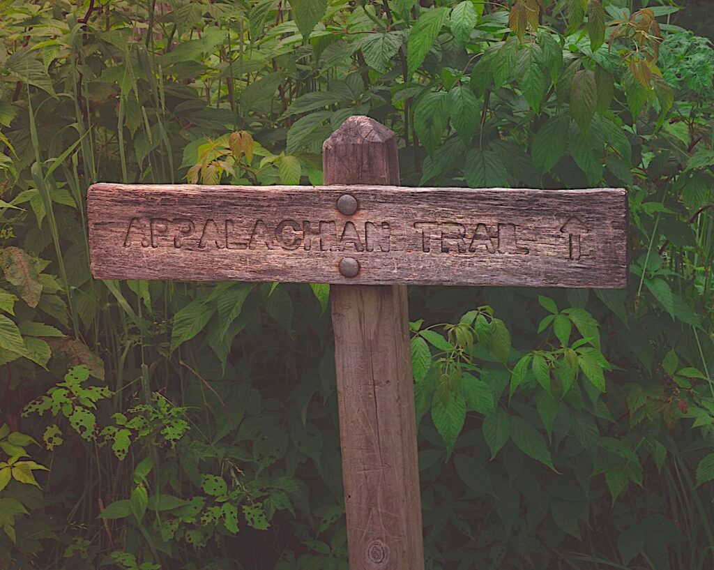
Appalachian Trail
150 miles of trail in Vermont
Access at multiple points in southern Vermont
Turn right and you can walk to Georgia; turn left and you can walk to Maine. This storied, 2,200-mile trail offers hiking through varied terrain, shelters for overnight stays, scenic views and, of course, numerous shorter sections for more casual enthusiasts.
More Hiking Trails in Vermont
Windham County: For more information on hiking trails in Windham County, including the Trailfinder, click here to visit the Windham Regional Commission’s website.
State of Vermont: For information on more hiking trails in the State of Vermont, click here to visit the Department of Forest, Parks & Recreation website.